


Select NOAA-NWS Forecast Office Text Products
(Product availability varies with seasons, forecast office, and weather.)
Hazardous Weather Outlook for Atlanta/Peachtree City, GA
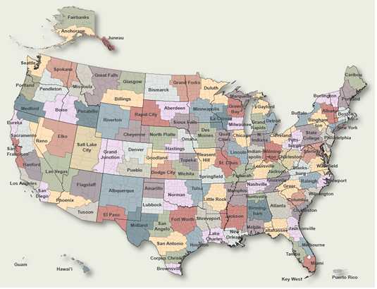
To Select Another NWS Office Click on Map or Choose from List
|
| Select Forecast Office: | Select Product: |
096 FLUS42 KFFC 290008 HWOFFC Hazardous Weather Outlook National Weather Service Peachtree City GA 808 PM EDT Tue Jul 28 2026 GAZ001>009-011>016-019>025-027-030>039-041>062-066>076-078>086- 089>098-102>113-300015- Baldwin-Banks-Barrow-Bartow-Bibb-Bleckley-Butts-Carroll-Catoosa- Chattahoochee-Chattooga-Cherokee-Clarke-Clayton-Cobb-Coweta- Crawford-Crisp-Dade-Dawson-DeKalb-Dodge-Dooly-Douglas-Emanuel- Fannin-Fayette-Floyd-Forsyth-Gilmer-Glascock-Gordon-Greene- Gwinnett-Hall-Hancock-Haralson-Harris-Heard-Henry-Houston-Jackson- Jasper-Jefferson-Johnson-Jones-Lamar-Laurens-Lumpkin-Macon- Madison-Marion-Meriwether-Monroe-Montgomery-Morgan-Murray- Muscogee-Newton-North Fulton-Oconee-Oglethorpe-Paulding-Peach- Pickens-Pike-Polk-Pulaski-Putnam-Rockdale-Schley-South Fulton- Spalding-Stewart-Sumter-Talbot-Taliaferro-Taylor-Telfair-Toombs- Towns-Treutlen-Troup-Twiggs-Union-Upson-Walker-Walton-Warren- Washington-Webster-Wheeler-White-Whitfield-Wilcox-Wilkes- Wilkinson- 808 PM EDT Tue Jul 28 2026 This Hazardous Weather Outlook is for north and central Georgia. .DAY ONE...Tonight... A line of thunderstorms is expected impact portions of northern Georgia tonight. A Severe Thunderstorms Watch is in effect for portions of north Georgia until 1 AM. This watch covers areas north of a line from Rome to Alpharetta to Athens. Any storms that hold together will be capable of damaging wind gusts, hail, and frequent lightning. Some uncertainty remains high on how far south into the state storms will traverse during the overnight hours. .DAYS TWO THROUGH SEVEN...Wednesday through Monday... A heat advisory will likely be needed again tomorrow across portions of south and central Georgia as heat indices rise above 105 degrees. Afternoon thunderstorm chances return on Saturday. Storms may contain gusty wind, heavy rain and frequent lightning. .SPOTTER INFORMATION STATEMENT... Spotter activation is not requested but spotters are encouraged to submit reports of severe weather through the web by going to weather.gov/atlanta. $$ |
Previous Hazardous Weather Outlooks may be found at
NWS Atlanta/Peachtree City, GA (FFC) Office Hazardous Weather Outlooks.
(Click 'Previous Version' there to view past versions successively.
Some may differ only in time posted.)
Products Courtesy of NOAA-NWS
NWS Information Parsing Script by Ken True at Saratoga Weather - WFO and Products Scripts by SE Lincoln Weather.
Mapping by Curly at Michiana Weather and by Tom at My Mishawaka Weather.
